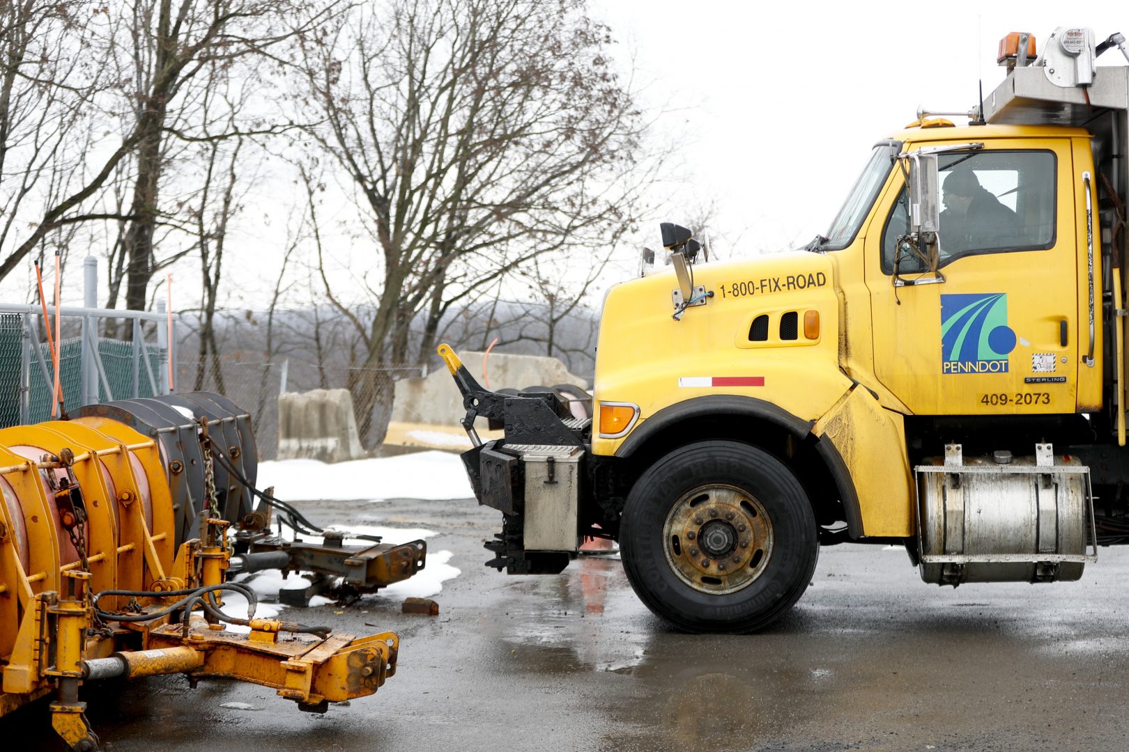
A Pennsylvania Department of Transportation road treatment truck pulls in to attach a plow at a storage facility in Franklin Park, Pa. on Friday, Jan. 18, 2019.
Keith Srakocic / AP Photo

A Pennsylvania Department of Transportation road treatment truck pulls in to attach a plow at a storage facility in Franklin Park, Pa. on Friday, Jan. 18, 2019.
Keith Srakocic / AP Photo

Keith Srakocic / AP Photo
A Pennsylvania Department of Transportation road treatment truck pulls in to attach a plow at a storage facility in Franklin Park, Pa. on Friday, Jan. 18, 2019.
(Harrisburg)–Snow arrived in the pre-dawn hours this morning. The system is forecast to move quickly along the East Coast today. Around 1-3 inches of accumulation is expected with the higher amounts in the southeastern areas of central Pennsylvania.
Farther up the coast, 6 to 8 inches of snow could fall across far southern New England, including Cape Cod. Snowfall intensity could be heavy at times and reduce visibility. Speed restrictions were implemented along the Turnpike from Harrisburg east to the state line. There is also vehicle restrictions imposed along Interstate 78 from Interstate 81 to Easton.
Another wave of low pressure is expected to move across the Northern Rockies and enter the Central Plains by Monday. That system is expected to arrive here for Tuesday and bring some scattered snow showers with little or no accumulation currently being predicted.
In between, colder weather with wind chills in the single digits. Lows on Sunday night are forecast for the teens with wind chill values in the single digits. Monday’s high is expected to hit the upper 20s under mostly sunny skies, with wind chills remaining in the single digits through most of the morning hours.

Get insights into WITF’s newsroom and an invitation to join in the pursuit of trustworthy journalism.
The days of journalism’s one-way street of simply producing stories for the public have long been over. Now, it’s time to find better ways to interact with you and ensure we meet your high standards of what a credible media organization should be.